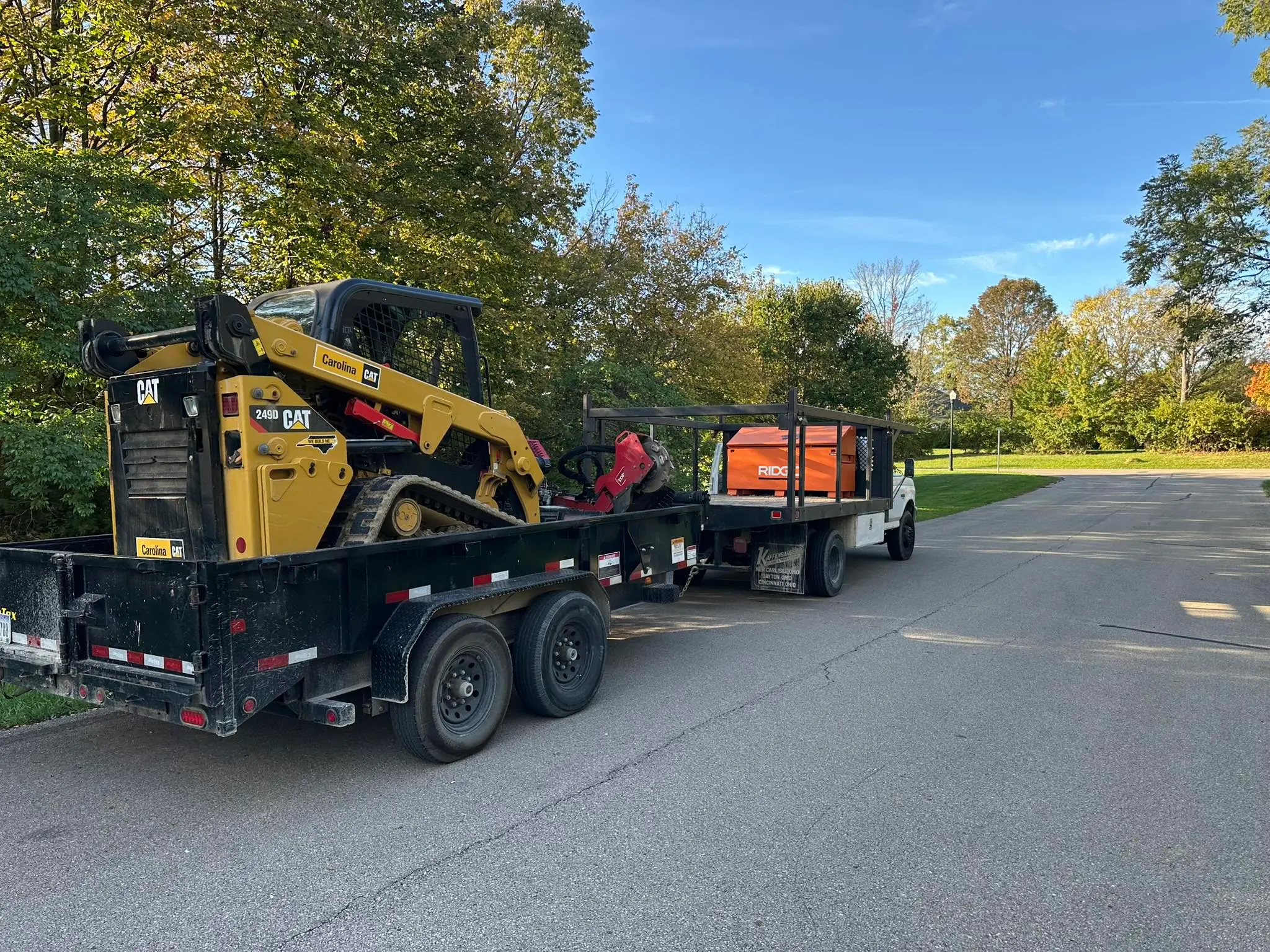
Who handles excavation in Morrow, OH?
Shawn's Landscape handles excavation in Morrow, Warren County, Ohio. That covers Morrow Village, River Bend, and Countryside Acres. Cost depends on depth, how much material has to move, and access. Pricing comes from an on-site look, not a phone guess. Estimates are free. Call (513) 849-3279.
Why do Morrow properties need engineered excavation?
Morrow sits where the Little Miami bends — beautiful, but drainage here is not optional.
The Soil Challenge: Morrow's upland soils are Miamian silt loam over Wisconsinan glacial till — the same dense clay association that dominates the Warren County till plain, with clay content averaging 35 to 45 percent in the subsoil. River terrace lots nearest the Little Miami transition to alluvial gravel and sandy loam over a persistent clay hardpan, producing a perched water table that appears dry at the surface but remains saturated 12 to 18 inches down for weeks after rain.
The Hydrology Reality: The Little Miami River — a designated Ohio and National Scenic River — runs immediately adjacent to lower Morrow neighborhoods including River Bend. FEMA Zone A and AE floodplain designations cover the immediate river corridor, and the scenic designation triggers Ohio EPA Section 401 Water Quality Certification review for any work within the regulatory buffer. Seasonal backwater flooding regularly saturates lots that extend toward the river terrace. Because of these physical realities, generic landscaping solutions fail rapidly here. You need heavy equipment and technical engineering.
Learn more about our excavation approach, pricing factors, and process. Or pick up the phone and describe what you're seeing.
COMMON SYMPTOMS WE FIX IN MORROW
What does pond excavation involve and can it be done on my property?
Pond excavation starts with hand-auger soil borings to confirm the clay content needed to hold water, then bulk excavation shaped to engineered side slopes with spoils either hauled off or regraded on site. Warren County SWCD earth-disturbing permits apply to most pond projects, and we handle that paperwork as part of the job.
How deep does a French drain need to be in Ohio to work below the frost line?
Southwest Ohio's frost depth is 32 to 36 inches. A drain installed above that depth will heave, crack, and lose grade every winter, eventually becoming a flat, non-functioning pipe. We install perforated pipe at a minimum depth of 36 inches and verify positive slope with a laser level before backfill begins.
Will heavy excavation equipment damage my underground utilities or tree roots?
Unmarked secondary utilities — irrigation, landscape lighting, invisible fence — are the most common excavation damage claims in residential work. We call 811 three business days before arrival and conduct a manual probe sweep of the entire work zone. Within the drip line of specimen trees we switch to vacuum excavation to prevent root damage.
What happens if excavation uncovers unexpected rock, ledge, or a high water table?
Hidden subsurface conditions are the number-one driver of excavation cost overruns. Before issuing any quote we perform hand-auger soil borings to identify rock ledge depth, seasonally saturated horizons, and buried debris — so that subsurface surprises are priced into the contract upfront, not billed as change orders after mobilization.
"Shawn's Landscape & Design did an outstanding job fixing a serious drainage problem in our yard. We had standing water near the foundation and no other companies would even call me back, but Shawn came out at 7pm in the cold rain."
Brian T.
How do you avoid a bad excavation contractor in Morrow?
Major excavation projects are intimidating. We eliminate the stress, hidden fees, and property damage associated with fly-by-night contractors.
- ✔ Site Protection Protocol 811 utility locates are mandatory three business days before mobilization. We deploy track mats on all drive surfaces and install root-zone fencing at the drip line of any specimen tree within 20 feet of the dig zone.
- ✔ Transparent Pricing Hand-auger soil borings performed during the site visit identify rock, ledge, and water table depth before the quote is issued. Any subsurface condition discovered in the bore is priced into the contract — not billed as a surprise change order mid-excavation.
- ✔ Bureaucratic Shield We prepare and submit all Warren County Building Department earth-disturbance permits and SWCD NPDES erosion control plans required for your project so you face zero municipal compliance risk.
- ✔ Liability Coverage We carry $2M general liability and use OSHA-compliant shoring for any excavation exceeding 5 feet in depth. Our crews are OSHA 10-certified, protecting you from worksite liability exposure.
- ✔ Completion Guarantee Our contract specifies a demobilization date. We will not leave an open excavation over a weekend without barricading, and the site will be rough-graded and stabilized with erosion control before final departure.
MORROW EXCAVATION FAQS
How much does excavation cost in Morrow?
Morrow's upland soils are Miamian silt loam over Wisconsinan glacial till — the same dense clay association that dominates the Warren County till plain, with clay content averaging 35 to 45 percent in the subsoil. River terrace lots nearest the Little Miami transition to alluvial gravel and sandy loam over a persistent clay hardpan, producing a perched water table that appears dry at the surface but remains saturated 12 to 18 inches down for weeks after rain. Pricing comes off a laser topographical measurement taken during the free estimate, so there are no hidden fees. Call (513) 849-3279.
Will heavy equipment destroy my Morrow lawn?
No. We utilize heavy-duty plywood track mats for all heavy machinery entering your property and guarantee to restore all turf and landscape features to their original state post-construction.
Are you licensed for earth-moving in Warren County?
Yes. Morrow is an unincorporated Warren County community; Warren County SWCD administers all Earth Disturbing Activity (EDA) permits. Projects disturbing one acre or more require an Ohio EPA NPDES Construction General Permit in addition to the county EDA. Work within the Little Miami Scenic River buffer additionally requires Ohio EPA Section 401 Water Quality Certification and may trigger US Army Corps of Engineers Section 404 review. We handle all required SWCD erosion control submissions and building department permits so you are completely insulated from legal liability and fines.
Prefer to start online? Tell us about your excavation project and we'll call you back with a straight answer.
REQUEST A FREE ESTIMATE ONLINE